Um
BikeMaps elskar að hjóla eins mikið og við elskum kort! Okkar markmið er að kortleggja þína upplifun á hjólinu til að gera hjólreiðar öruggari. Þú þekkir áhættusvæðin á þinni hjólaleið og við viljum kortleggja þau.Þín þekking á hjólaöryggi, hættum og jafnvel hjólaþjófnaði verður notað til greininga með GIS og tölfræði til að finna hættusvæði. Við erum stanslaust að uppfæra kortin og tæknina svo sendið okkur þitt álit. Fylgist með uppfærðum kortum gerðum úr þinni hjólareynslu.
Hafa samband
Ertu með spurningar eða athugasemdir um bikemaps.org? Við viljum endilega heyra frá þér! Email us at info@bikemaps.org.
Upplýsingar
Afhverju er verið að safna þessum gögnum?
Aðeins ~30% af hjólaárekstrum eru skráðir og það er ekkert skráningarkerfi.BikeMaps.org er einstakt tæki fyrir íbúa til að búa til sinn eigin gagnagrunn með því að skrá sína hjólareynslu.
Hvað verður gert við gögnin?
Bikemaps.org liðið mun nota gögnin til að greina þá þætti sem hafa áhrif á hjólaöryggi. Við ætlum einnig að útbúa tól til að hjálpa fólki að skipuleggja öruggari og afhenda skipuleggjendum á þínu svæði.
Hvernig geta íbúar og sveitarfélög fylgst með svæðum sem þeir hafa áhuga á?
Með skrá mig og skrá inn getur þú fylgst með leið eða svæði með því að nota tólið. Hvert skipti sem þú skráir þig inn sérðu nýtt kort af svæðinu með tólinu.
Ég ýtti á hnappinn "Sendu / Senda inn" og tók eftir að pinnið mitt er ekki á réttum stað. Hvernig laga ég það ?
Sendið tölvupóst á netfangið info@bikemaps.org með upplýsingum um tíma og staðsetningu óhapps/næstum því slyss og við munum færa það inn í gagnagrunn.
Ert þú með (kennslu)myndband
Já, hér er tengill á myndbandið sem einn okkar tók
Why does the Strava heat map disappear when I zoom in?
Strava restricts street-level heat maps due to privacy and security concerns. If you are a registered Strava user, you can explore the global heatmap.
Hvernig get ég verið með?
Þú getur deilt þessari síðu á félagsmiðlum, haldið kynningarkvöld, eða gert GIS eða þróun. Ef þú átt hjólabúð eða lítið fyrirtæki getur þú auglýst BikeMaps.org. Við erum einnig í leit að rannsóknarstyrkjum til að þróa og bæta verkefnið. Eða, kannski er þinn hópur með GIS gögn sem gætu bætt BikeMaps.org.
Why can't I access my geolocation on my mobile device?
If you respond 'allow' to the BikeMaps.org request to use your location but still get a 'user denied geolocation' error, it might be that your privacy settings don't allow your browser itself to access your location. Check if your browser (Firefox, Chrome, Safari) has location permissions in your privacy settings.
Birtingar
Skoðið birtar greinar fyrir frekari upplýsingar um verkefnið.
- Laberee, K., Nelson, T., Branion-Calles, M., Ferster, C., & Winters, M. (2021). Crowdsourced bicycling crashes and near misses: trends in Canadian cities. Urban, Planning and Transport Research 9(1): 450-464. doi.org/10.1080/21650020.2021.1964376
- Ferster, C.J., Nelson, T., Laberee, K., & Winters, M. (2021). Mapping bicycling exposure and safety risk using Strava Metro. Applied Geography. doi.org/10.1016/j.apgeog.2021.102388
- Ferster, C., Laberee, K., Nelson, T., Thigpen, C., Simeone, M., & Winters, M. (2020). From advocacy to acceptance: Social media discussions of protected bike lane installations. Urban Studies. doi.org/10.1177%2F0042098020938252
- Fischer, J., Nelson, T., Laberee, K., & Winters, M. (2020). What does crowdsourced data tell us about bicycling injury? A case study in a mid-sized Canadian city. Accident Analysis & Prevention. doi.org/10.1016/j.aap.2020.105695
- Nelson, C., Ferster, C., Laberee, K., Fuller, D., & Winters, M. (2020). Crowdsourced data for bicycling research and practice. Transport Reviews. doi.org/10.1080/01441647.2020.1806943
- Ferster, C., Fischer, J., Manaugh, K., Nelson, T., and Winters, M. (2019). Using OpenStreetMap to inventory bicycle infrastructure: a comparison with open data from cities. International Journal of Sustainable Transportation (18-01501). doi.org/10.1016/j.aap.2017.11.008
- Boss, D., Nelson, T., Winters, M., and Ferster, C. (2018). Using crowdsourced data to monitor change in spatial patterns of bicycle ridership. Journal of Transport and Health. 9: 226-233. doi.org/10.1016/j.jth.2018.02.008
- Boss, D., Nelson, T., and Winters, M. (2018). Monitoring city wide patterns of cycling safety. Accident Analysis and Prevention. 111: 101-108. doi.org/10.1016/j.aap.2017.11.008
- Branion-Calles, M., Nelson, T., and Winters, M. (2017). Comparing crowdsourced near-miss and collision cycling data and official bike safety reporting. Transportation Research Record: Journal of the Transportation Research Board, No. 2662, pp. 1–11. doi.org/10.3141/2662-01
- Jestico B, Nelson TA, Potter J, Winters M. (2017). Multiuse trail intersection safety analysis: a crowdsourced perspective. Accident Analysis and Prevention 103: 65-71. doi.org/10.1016/j.aap.2017.03.024
- Ferster C, Nelson TA, Laberee K, Vanlaar W, Winters M. (2017). Promoting crowdsourcing for urban research: cycling safety citizen science in four cities. Urban Science 1(2): 21. doi:10.3390/urbansci1020021
- Ferster CJ, Nelson TA, Winters M, Laberee K. (2017). Geographic age and gender representation in volunteered cycling safety data: a case study of BikeMaps.org. Applied Geography 88: 144-150. doi.org/10.1016/j.apgeog.2017.09.007.
- Jestico B, Nelson TA, Winters M. (2016). Mapping ridership using crowdsourced cycling data. Journal of Transport Geography. 52: 90-97. doi.org/10.1016/j.jtrangeo.2016.03.006
- Nelson, TA, Denouden, T, Jestico, B, Laberee, K, and Winters, M. (2015). BikeMaps.org: a global tool for collision and near miss mapping. Frontiers in Public Health.doi:10.3389/fpubh.00053
Hópurinn
Dr. Trisalyn Nelson
Stofnandi
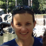
Trisalyn is the founder of BikeMaps.org. She is a geography professor at University California Santa Barbara and the Jack and Laura Dangermond Chair of Geography. She is also adjunct faculty at the University of Victoria. As a mom, avid cyclist, and data scientist, Trisalyn's vision for BikeMaps.org is to make bicycling more accessible to more people by improving data for decision making.
Dr. Meghan Winters
Metro Vancouver Rannsóknir Lead
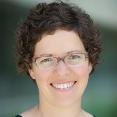
Meghan Winters is a Professor in the Faculty of Health Sciences at Simon Fraser University, and a Michael Smith Foundation for Health Research Scholar. Her research focuses on ways that cities and their infrastructure can play a role in promoting healthy and safe transportation, for people of all ages and abilities. She is happiest when working in close collaboration with cities and stakeholders to conduct research and create tools that address real-world challenges.
Karen Laberee, MSc.
Framkvæmdastjóri
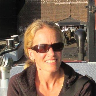
Karen has been part of the BikeMaps.org team since the project began in 2014. She has managed many aspects of the project and has been heavily involved in community outreach and engagement. Karen is also the project coordinator for WalkRollMap.org, CanBICS, and INTERACT Victoria. In her personal life, Karen has gained considerable experience volunteering on numerous boards that support amateur sports or community initiatives. Most weekends, Karen can be found running the beautiful trails around Victoria.
Dr. Colin Ferster
Pos-Doctoral rannsóknar sérfræðingur
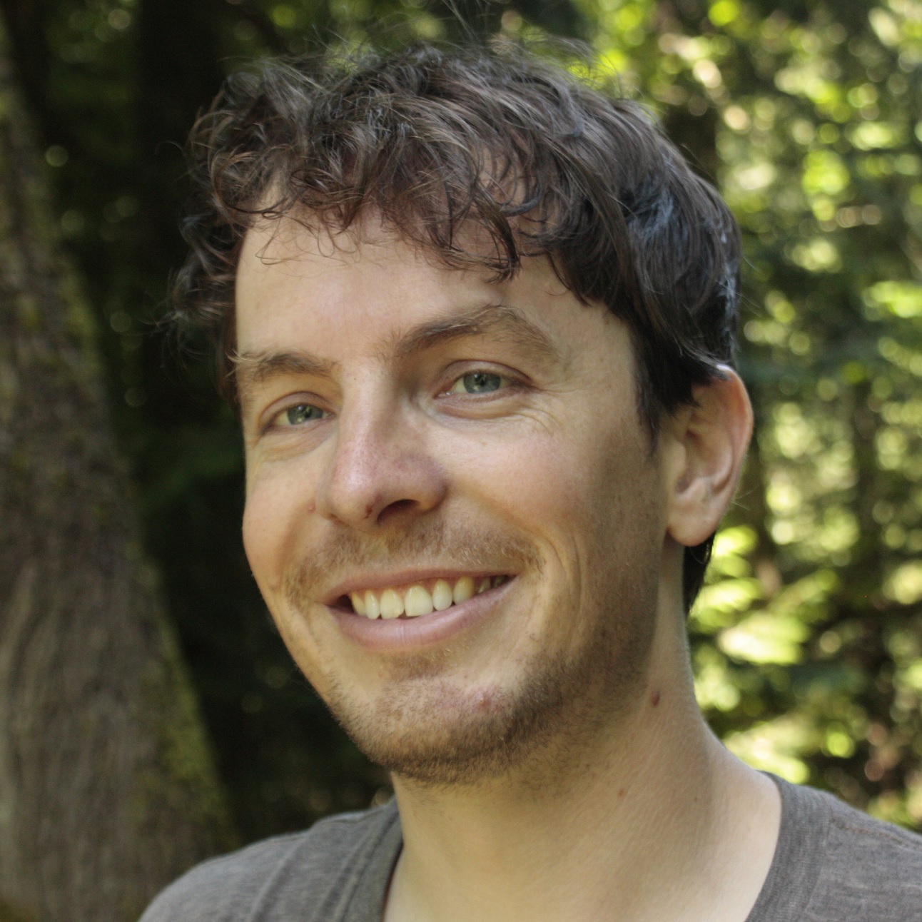
Colin uses traditional and emerging geographic data to better understand people and their environments. A long-time city and mountain biker, Colin is happy to be part of the BikeMaps.org team as a developer and researcher because it combines his favorite things: maps, apps, people, and bikes!
Moreno Zanotto, MSc.
Samskipti, Metro Vancouver
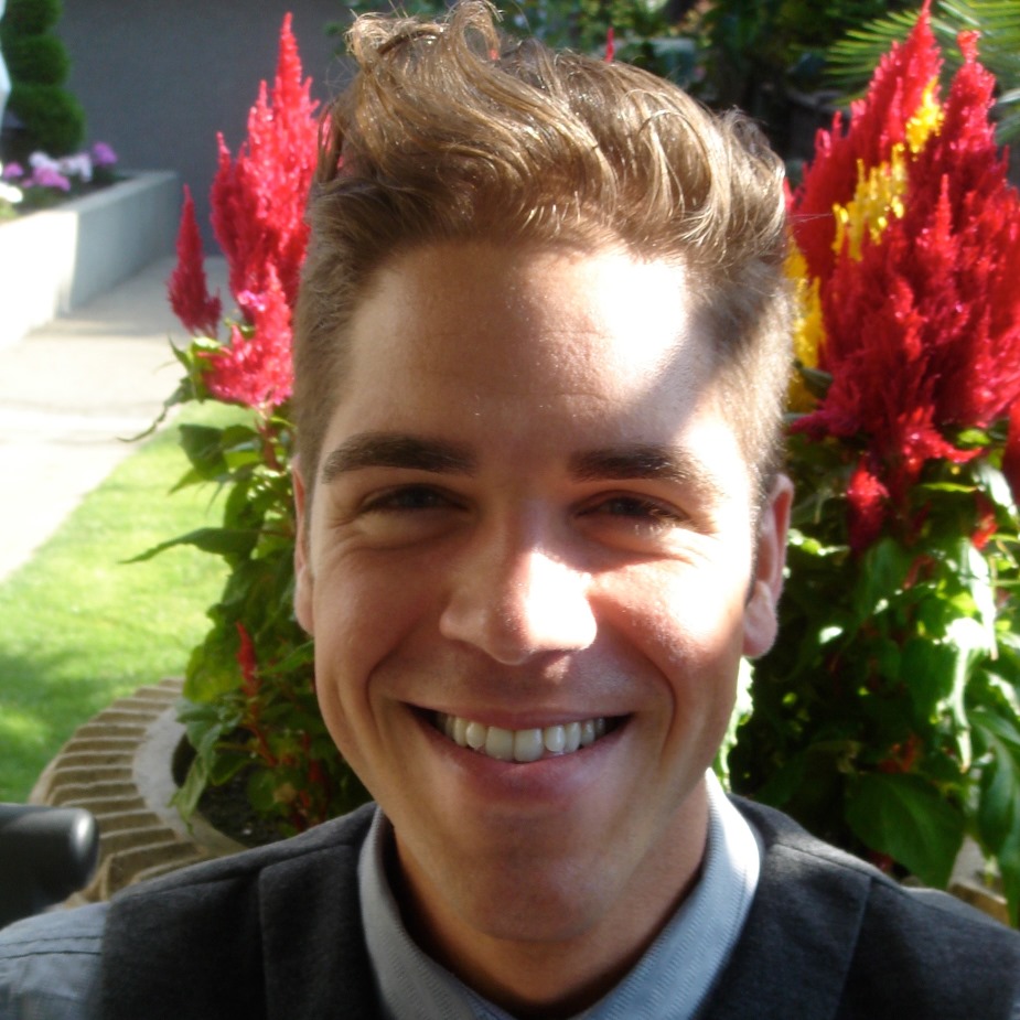
Moreno byrjaði hjá BikeMaps haustið 2015. Hann er í Vancouver og samræmir Bikemaps kynningar á svæðinu. Hann var í SFU’s heilsufræði deildinni og lauk ritgerð sinni um hjólaleigu kerfi í Vancouver. Moreno álítur hjólreiðar vera lausn við heilsu- félags- og umhverfislegum vandamálum sem og lykilinn að sjálfbærari samfélagi.
Jaimy Fischer
Rannsóknar aðstoðarmaður
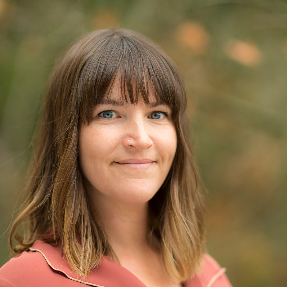
Jaimy joined the BikeMaps team in 2016. She is currently pursuing her PhD with Dr. Meghan Winters at Simon Fraser University. As part of her work, Jaimy will be looking at the link between investment in All Ages and Abilities (AAA) bicycle infrastructure and ridership and safety outcomes. Her work is part of the larger Impacts of Bicycle Infrastructure in Mid-Sized Cities project, and through it she’ll be advancing skills in predictive modelling and spatial analysis approaches to model bicycling exposure and safety.
Daniel Fuller
Atlantic Research Lead
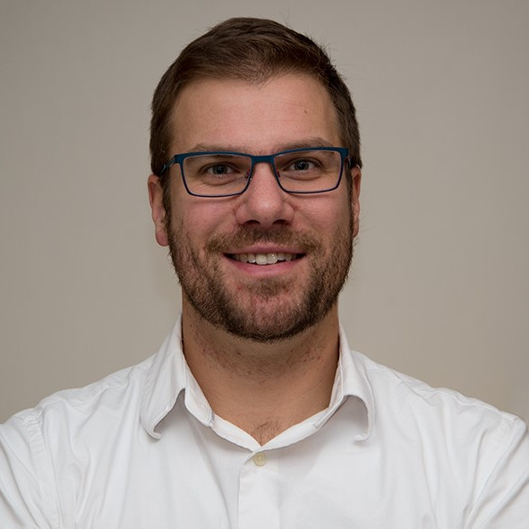
Daniel Fuller is a Canada Research Chair in Population Physical Activity in the School of Human Kinetics and Recreation at Memorial University. His research is focused on using wearable technologies to study physical activity, transportation interventions, and equity in urban spaces. Dan has an MSc in Kinesiology from the University of Saskatchewan, a PhD in Public Health from Université de Montréal. Dan is the Principal Investigator on the INTERACT team and Neighbourhood Factors Team co-lead of the Canadian Urban Environmental Health (CANUE) Research Consortium. He spends free time chasing his two rambunctious kids.
Finn Short
Þróun
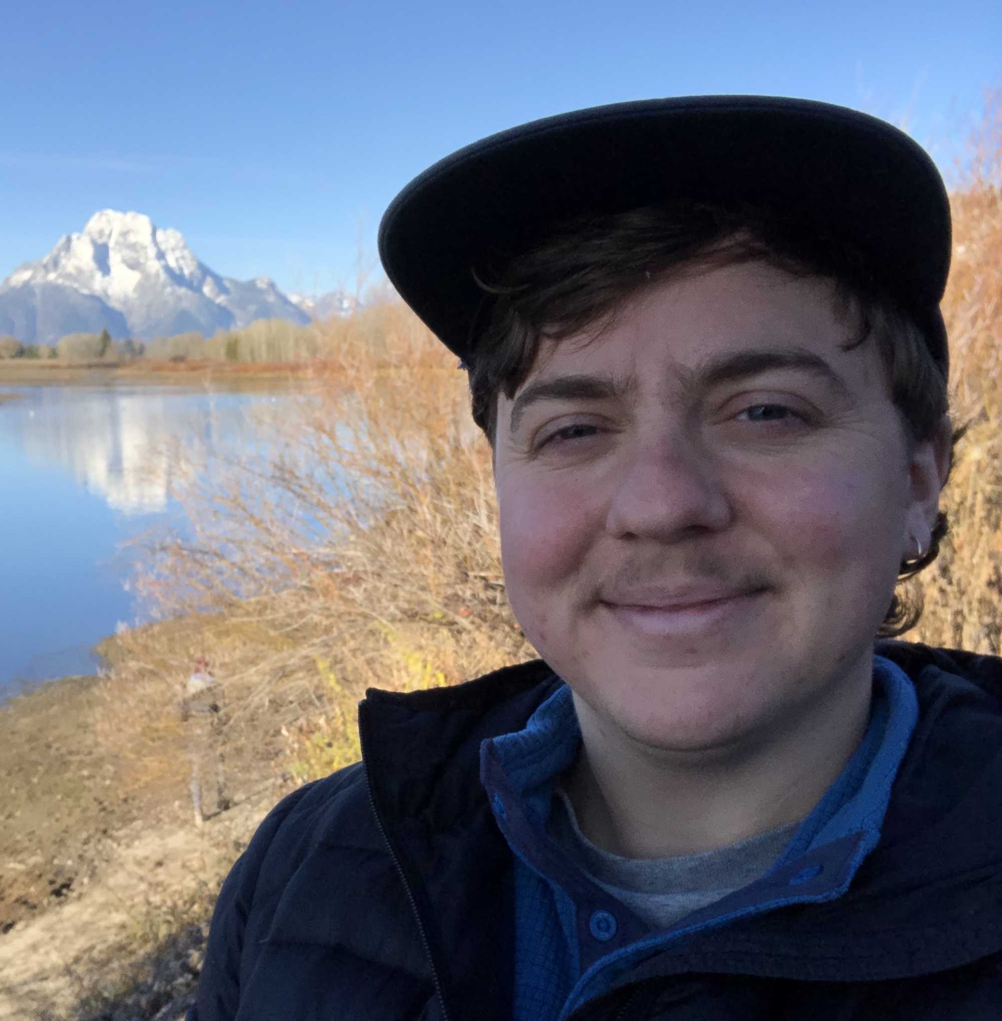
Finn studied geography at VIU in Nanaimo and computer science at Concordia in Montreal, and is excited to be contributing to the Bikemaps team as a software developer. Outside the office they enjoy mountain biking, running, and rock climbing.
Darren Boss, MSc.
Þróun
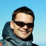
Darren completed his MSc in the SPAR lab at UVic in 2017. He continues his involvement with BikeMaps and is the lead developer for WalkRollMap.org. When not coding away, Darren enjoys mountain biking, skiing and hiking.
Dr. Michael Branion-Calles
Alumni
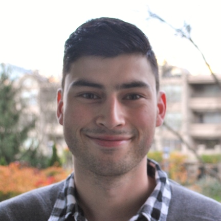
Michael is currently a Post Doctoral Researcher in the Department of Medicine at the University of British Columbia. As a part of his PhD, Michael used data collected on BikeMaps.org to investigate the link between active transport, health and safety. Michael is looking forward to leveraging the power of crowd-sourced data in order to better understand cycling safety.
Ben Jestico, MSc.
Alumni
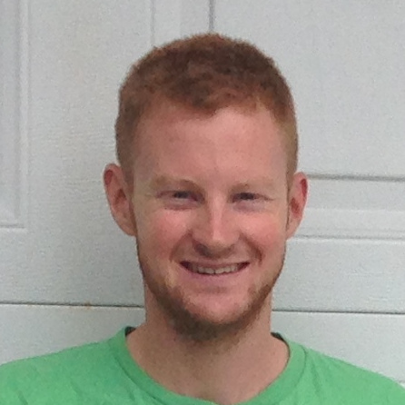
Ben var fyrsta framhaldsnámi BikeMaps.org er nemandi og var lykilhlutverki í árangursríkri ná lengra í árdaga BikeMaps.org. Fyrir MSC rannsóknum sínum, Ben samanborið ridership gögn, sem safnað handvirkt fyrir þá sem nota crowdsourced forrit á borð við Strava (http://bit.ly/2af2Cpc). Rannsóknir Bens notaði einnig gögn sem safnað er á BikeMaps.org að rannsaka atvik á multiuse slóð og vegur vegamót.
Jeneva Beairsto
Alumni
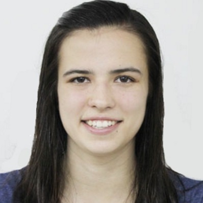
Jeneva has an M.Sc. in Urban Analytics from the University of Glasgow, and a Bachelor of Arts and Science from Quest University Canada. Her past research has focused on a range of topics related to active transportation: including the optimization of distance-based transit fares and a user-based incentive approach to rebalancing station-based bike-sharing systems. Jeneva is a former Canadian National Wushu (Chinese martials arts) Team member and enjoys spending time doing anything active.
Taylor Denouden, MMath
Alumni, hönnuður (hönnuðir)

A graduate of the Geomatics program at the University of Victoria, Taylor is the developer behind the BikeMaps website. Taylor went on to earn a Master of Mathematics in Computer Science at the University of Waterloo. He is now working at the Hakai Institute where he is creating image classification tools for drone and fixed wing imagery along with various other tools for geospatial applications.
