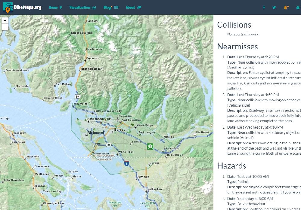
Want to know what citizens have been mapping in riding area or city? By creating a BikeMaps.org login and defining an alert area you can track reports in areas that interest you.
How?
Register as a user or login - see the upper right corner of the website.
Use the tool to define an area of interest to you.
Click the tool (near the login) to see what has been mapped in the last week.
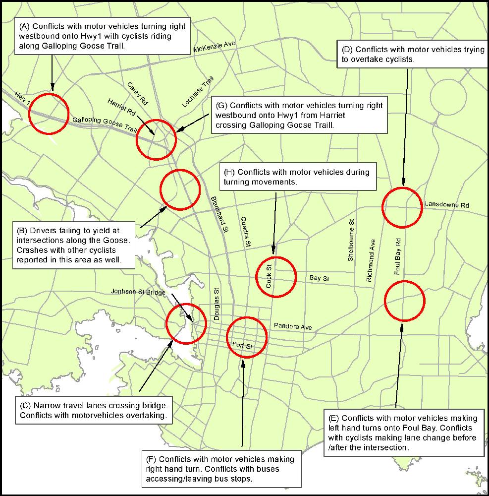
On the BikeMaps.org website, citizens of Victoria (Canada) have mapped more than 475 trouble spots for cyclists. Below are top 8 problem areas they report. Drivers and cyclists should use caution at these locations. Interested in safety in your area? Encourage local mapping!
Key Areas highlighted:
A) Mckenzie and Hwy 1
B) Galloping Goose between Ardersier Rd and Burnside Rd East