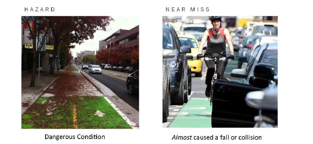
After a year of BikeMappers pinning hazards, it became apparent that we needed to tweak some of our hazard mapping. Far too many hazards were being categorized as “other”. Combing through the detailed descriptions, we created new categories that better reflect the hazards that people were actually concerned about. We also removed the human behaviour hazard group. The rationale behind this was that any of these hazards were not persistent and therefore would do no good warning other cyclists. Further, hazards pinned under human behaviour categories could often be more accurately pinned as a near miss. We have also enabled certain hazards, such as icy roads or leaves on road, to disappear after a certain time period.
For our research we do not analyze any of the hazards that are pinned. We provide the hazard mapping as a service to our citizen science reporters. It is important that the distinction between near misses and hazards be made. If you’ve had a collision, fall, or near miss from a hazard, logging it as a collision or near miss will enable us to analyze the environmental and infrastructure characteristics that possibly contributed to the incident.

Our hazard mapping is quite a popular feature of BikeMaps.org. Cyclists who have turned on the alert feature for their riding area will receive notifications of new hazards pinned in their area. Municipalities can also choose to monitor their geographical area for new hazards. This is especially useful for smaller cities that do not have a 3-1-1 system in place.
Here is the list of all the hazards to choose from:
